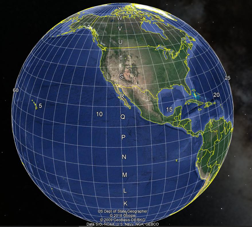
First of all, we need to find out the data of our region by link
Example geo meta data for Israel
hddd.ddddd° (Lat/Lon Degrees)
hddd° mm.mmm' (Lat/Lon Degrees & Minutes)
hddd° mm' ss.s" (Lat/Lon Deg. Min. Sec.)
Universal Transverse Mercator (UTM)
Military Grid Reference System (MGRS)
Israel TM Grid - EPSG 2039
World Geodetic System 1984 (WGS 84) - EPSG 4326
World Geodetic System 1972 (WGS 72) - EPSG 4322
European 1950, Iraq and Israel
Israel 1993 - EPSG 4141
Next, we need to install the library pyproj4
$ pip install pyprojNow we write code for python for converting data
import pyproj

def get_lat_lng(x, y):
    '''
    ISRAEL GEO METADATA get from https://www.expertgps.com/convert-coordinates/
    hddd.ddddd° (Lat/Lon Degrees)
    hddd° mm.mmm' (Lat/Lon Degrees & Minutes)
    hddd° mm' ss.s" (Lat/Lon Deg. Min. Sec.)
    Universal Transverse Mercator (UTM)
    Military Grid Reference System (MGRS)
    Israel TM Grid - EPSG 2039
    World Geodetic System 1984 (WGS 84) - EPSG 4326
    World Geodetic System 1972 (WGS 72) - EPSG 4322
    European 1950, Iraq and Israel
    Israel 1993 - EPSG 4141
    CODE = 972
    UTM Zone = 36R
    lat = 31.6245213
    long = 34.7210813
    '''
    wgs84 = pyproj.Proj(projparams = 'epsg:4326')
    InputGrid = pyproj.Proj(projparams = 'epsg:2039')

    c = pyproj.transform(InputGrid, wgs84, x, y)
    return {'lat': c[0], 'lng': c[1]}

coord = get_lat_lng(174055.2462, 614374.1559)
print(coord) #{'lat':31.6208351818742, 'lng': 34.72593812619558}
Good day :)!


